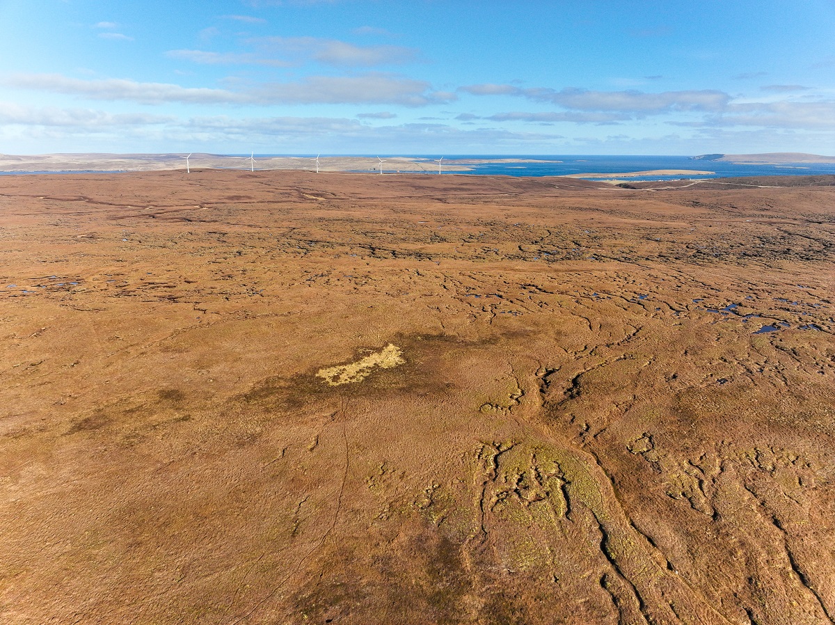
The Carbon Neutral Islands (CNI) project aims to support six island communities towards achieving net zero by 2040, acting as Lighthouse Communities in Scotland’s decarbonisation journey. Yell is the second largest island in Shetland, and much of the terrain is peatland of varying qualities. In 2023 we were approached to produce a detailed report on the island’s peatlands – potentially the islands largest source of CO2 emissions – to determine the extent and condition and provide an estimate of the emissions / sequestration.
Our approach was to use a combination of drone mapping with satellite imagery, namely Sentinel 2 datasets. We used supervised classification on the satellite data, creating small training areas of representative land cover types including grasslands, peatlands, urban fabric, roads, etc., then using the calculated spectral signatures from the training areas to classify the whole of the island.


The individual classes were extracted from the classified raster (pixel based like a digital image) to create vector data (points, lines and polygons) for further analysis in GIS software. Drone imagery was used to ground truth the satellite classification, sites with varying peatland quality from near natural to heavily degraded were chosen for this.
We also produced a NDVI (Normalised Difference Vegetation Index) map from the satellite data. NDVI is a measure of plant health and photosynthesis activity on a scale of -1 (no activity) to +1 (very high activity). Intensive grasslands and crops tend to have higher values than peatlands, so this was a good way to check the overall classification results.
The fnal report was published in May 2024 and can be downloaded here.